top of page


GEOWAVE
SOLUTIONS
GEOPHYSICAL EXPLORATION
GEOP
.jpg)
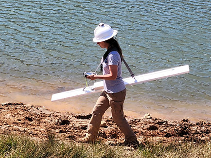
Seismic Refraction
Rapid, shallow surveying of conductive or resistive anomalies such as underground storage tanks, water-filled fracture zones, landfill delineation, subsurface voids, and sinkhole characterization


Earth Resistivity Imaging
2D and 3D mapping of conductive and resistive subsurface anomalies including caves and karst terrane, bedrock, fracture zones, buried stream channels, etc.
.jpg)
.jpg)
bottom of page